Every building stands on soil, and it is the soil that most often delivers the most expensive surprises. Collapsible loess, a high groundwater table, made ground on the site of an old landfill, saline soils, karst cavities — none of this can be judged by eye. Engineering surveys give the designer real data about the site, and without them neither the foundations nor the structural frame can be designed correctly. Here is what the surveys include and why cutting corners on them almost always ends up costing more.
What engineering surveys consist of
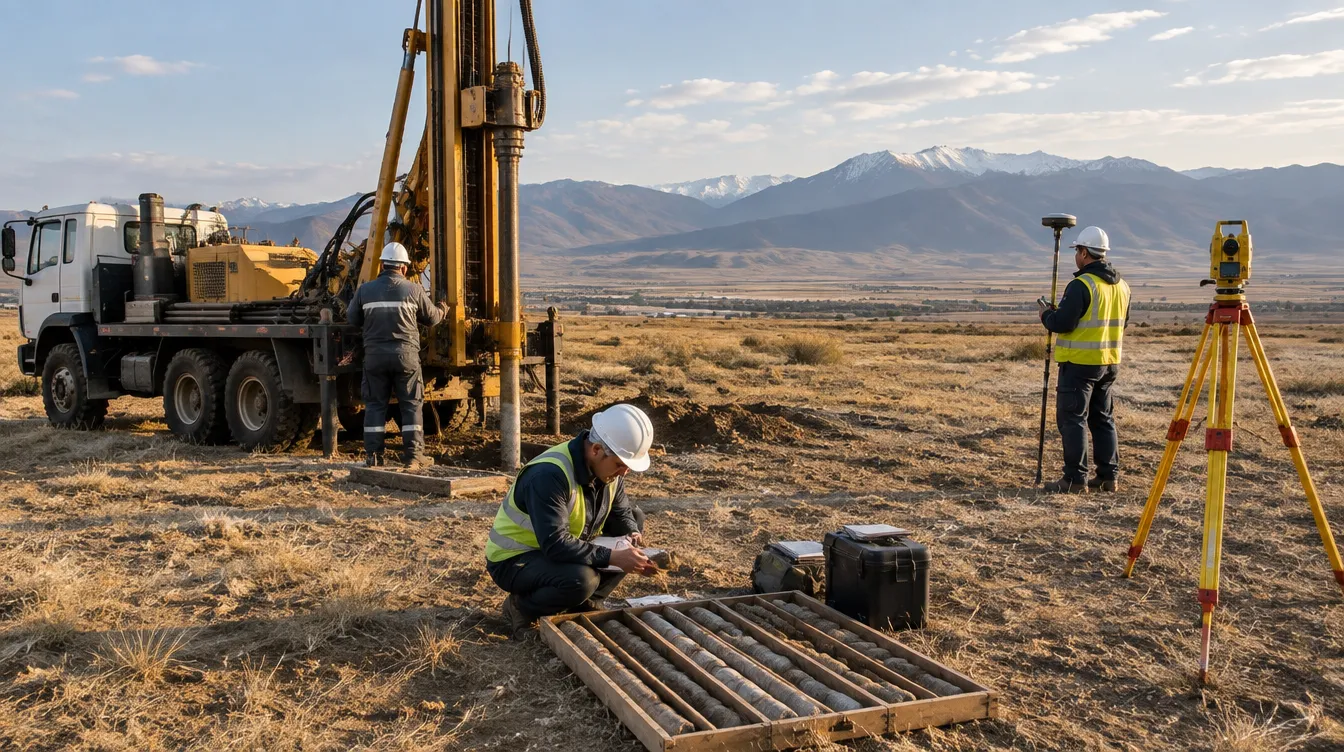
- Geodetic surveys. A topographic survey of the plot covering terrain, existing buildings, trees and underground utilities. It forms the basis for the site plan, grading design and setting out of the building.
- Geotechnical surveys. Borehole drilling, soil sampling, laboratory testing and, where needed, cone penetration and plate load tests. The output is geological cross-sections and the physical and mechanical properties of the soils used to design the foundations.
- Hydrogeological investigations. The groundwater level, its seasonal fluctuations and how aggressive the water is to concrete and steel. Basement waterproofing, dewatering and the concrete grade all depend on these findings.
- Environmental surveys. Assessment of soil contamination, background radiation and hazardous substances — especially important for housing, schools and kindergartens.
- Seismic microzoning — for critical facilities in earthquake-prone areas. It refines the design seismicity of a specific site, taking ground conditions into account.
For reconstruction projects, a technical inspection of the existing structures — foundations, walls and floor slabs — is added to determine whether they can carry the new loads.
Conditions specific to Kazakhstan
Kazakhstan has a complex geotechnical map. The foothills around Almaty and Taraz are highly seismic, and soil properties there directly affect the design load: the same site on bedrock and on water-saturated sand can differ in design seismicity. The southern and western regions have widespread collapsible loess-like loams that lose bearing capacity sharply when wetted. In the west there are saline soils that attack concrete. In the north, the seasonal frost depth and frost heave of soils are critical.
A design based on "the neighbours'" surveys or on data twenty years old is a gamble. Ground conditions can change even within a single block.
What it costs and what you get
Surveys usually account for a small share of the construction budget — typically a few per cent. Yet they shape the most expensive, below-ground part of the building. Reliable data allows you to:
- choose the optimal foundation type — sometimes a raft is enough instead of piles, and vice versa;
- avoid excessive "just in case" safety margins that drive up concrete and rebar consumption;
- plan dewatering and waterproofing in advance rather than dealing with them in a flooded excavation;
- avoid differential settlement, cracked walls and skewed openings a few years into operation;
- pass the design review without comments or repeat surveys.
Common client mistakes
The first is reducing the number and depth of boreholes to save money. Boreholes must cover the building footprint and the zone of influence of the foundations, and their depth must reach through the compressible soil stratum. The second is commissioning surveys without a brief from the designer: the contractor does not know the loads or the building type and carries out a "minimum package". The third is surveying in a single season and ignoring seasonal fluctuations of the groundwater table. The fourth is relying on outdated reports when earthworks have already been carried out on the plot or the terrain has changed.
A real-life cost-cutting scenario
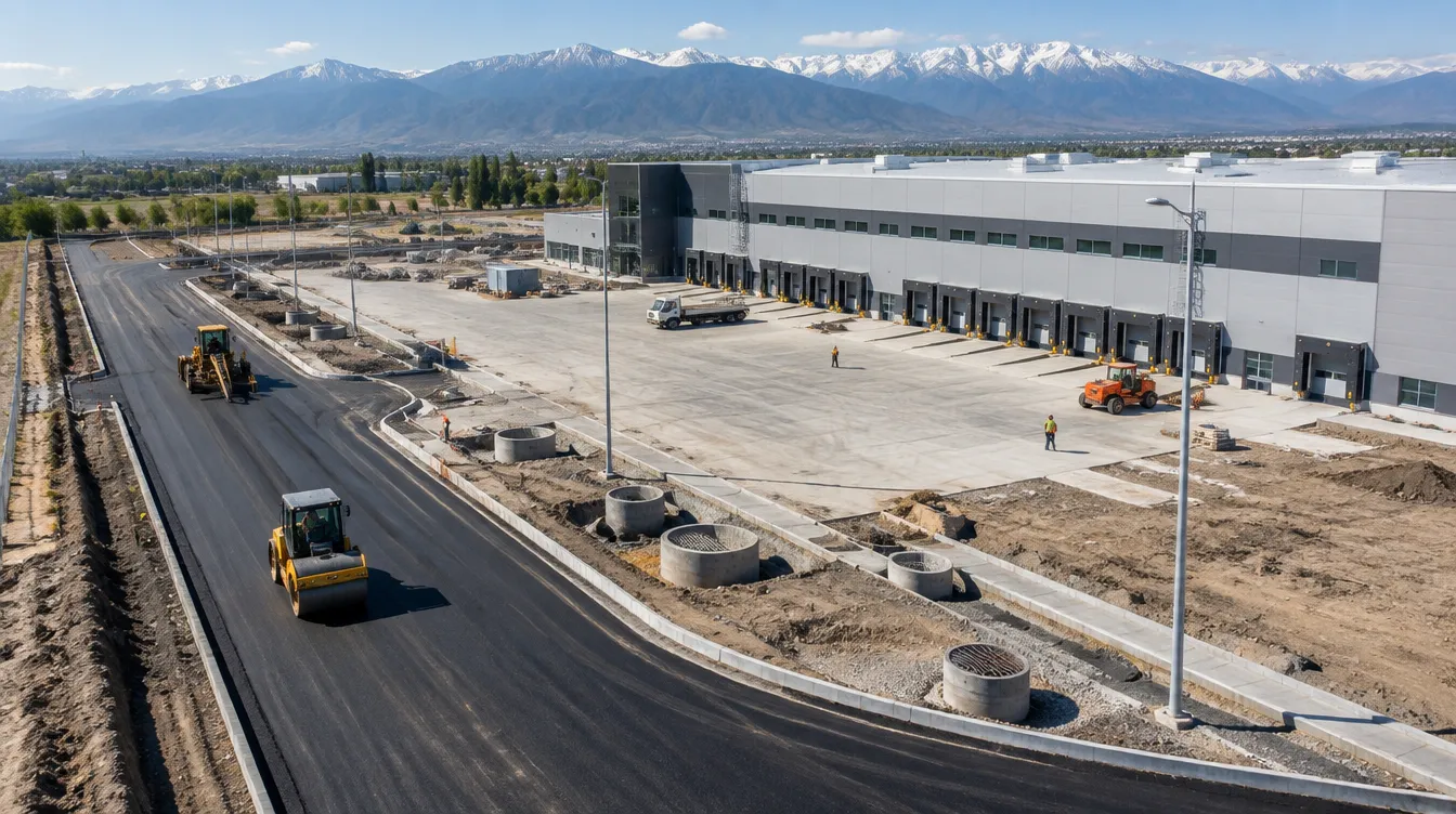
A typical story: the client decides to save money and builds a warehouse using the report from the neighbouring plot. During excavation it turns out that the groundwater is a metre higher and there is made ground beneath the topsoil. Work stops; dewatering, additional surveys, recalculation of the foundations and design amendments are required. Idle plant and crews, a repeat design review and concrete overruns cost many times more than was "saved" on the boreholes. It is even worse if the problem shows up after commissioning, as cracks and settlement of the building.
How to organise surveys properly
The optimal sequence is this: the designer prepares a survey brief based on the building's dimensions, number of storeys and expected loads; the survey team carries out field and laboratory work; and based on their results the designer selects the structural solution and prepares the cost estimate. If there are old structures on the plot, it is convenient to mark them up first in our online plan editor and send them to the engineers together with your enquiry.
Since 1994, Techno-Module has taken projects from surveys and design through to construction and technical supervision. We organise the full range of surveys, prepare the design and cost estimate, and you can get an indicative construction cost in our calculator. Examples of projects built on difficult ground are in the Projects section. Send us an enquiry and we will advise on the scope of surveys your particular site needs.